Greenville County
Parcels west and south of the airfield, including the I-85 corridor frontage.

Established by South Carolina statute, 1995
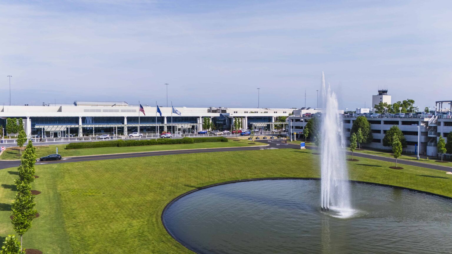
The GSP Airport Environs Planning Commission reviews development near Greenville-Spartanburg International Airport so that what gets built stays compatible with what flies overhead. Find your zoning district, read the standards, and file an application.
About the Commission
Greenville-Spartanburg International Airport sits across two counties and touches a third municipality. Without a shared rulebook, the same parcel could be approved on one side of a line and denied on the other. The Commission exists to prevent that. It was created by state statute in 1995 to keep land uses near the airport compatible with airport operations, and it applies one set of standards regardless of which jurisdiction issues the permit.
Compatibility runs both ways. It protects residents and businesses from noise and hazard exposure, and it protects the airport from encroachment that would constrain how it operates decades from now.
Land use compliance
The Commission monitors compliance in the three jurisdictions below. Your permit is issued locally, but the airport overlay standards are the same in each.
Parcels west and south of the airfield, including the I-85 corridor frontage.
Parcels north and east of the airfield, including the approach corridor to Runway 22.
Incorporated parcels adjoining the airport property boundary.
Zoning maps
Each jurisdiction publishes its own GIS viewer. Search by address or tax map number, then check the airport overlay layer.
Parcel viewer with zoning, overlay districts and aerial imagery.
Parcel viewer with zoning, overlay districts and aerial imagery.
Municipal parcel viewer for incorporated addresses.
Documents
Search the library or filter by type. Every row is a single link, so it works with a keyboard, a screen reader, or a thumb.
Showing all 10 documents.
No documents match that search. Try a broader term, or reset the filter to All.
Apply
Applications are reviewed at the monthly Commission meeting. File at least three weeks ahead to be placed on the agenda.
The Upstate
Compatible land use is a long horizon decision. What gets approved near the airfield today sets what the region can do with it thirty years from now.
Contact
A five minute call ahead of design is cheaper than a determination after. Commission staff will tell you whether a parcel is affected and which standards apply.